Discover The Outdoor Lifestyle In Rancho Palos Verdes
March 26, 2026
March 26, 2026
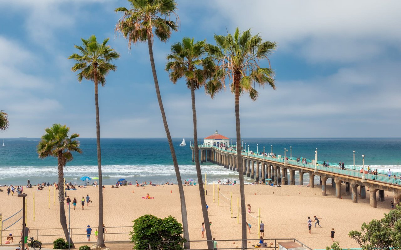
What if your morning walk could include tidepools, a bluff‑top sunset, and a gray whale sighting, all within Los Angeles County? If you are exploring Rancho Palos Verdes for its outdoors, you want clear, local guidance to make the most of every visit and understand how daily life connects to the coast. This guide highlights the best trails, viewpoints, tidepools, seasonal whale watching, and practical safety notes, plus how different neighborhoods plug into it all.
Rancho Palos Verdes centers around the Palos Verdes Nature Preserve, a roughly 1,400‑acre backbone of protected open space with miles of coastal and canyon trails. You can review reserve maps, suggested routes, and hours on the Palos Verdes Peninsula Land Conservancy’s page for the Palos Verdes Nature Preserve — maps & hours.
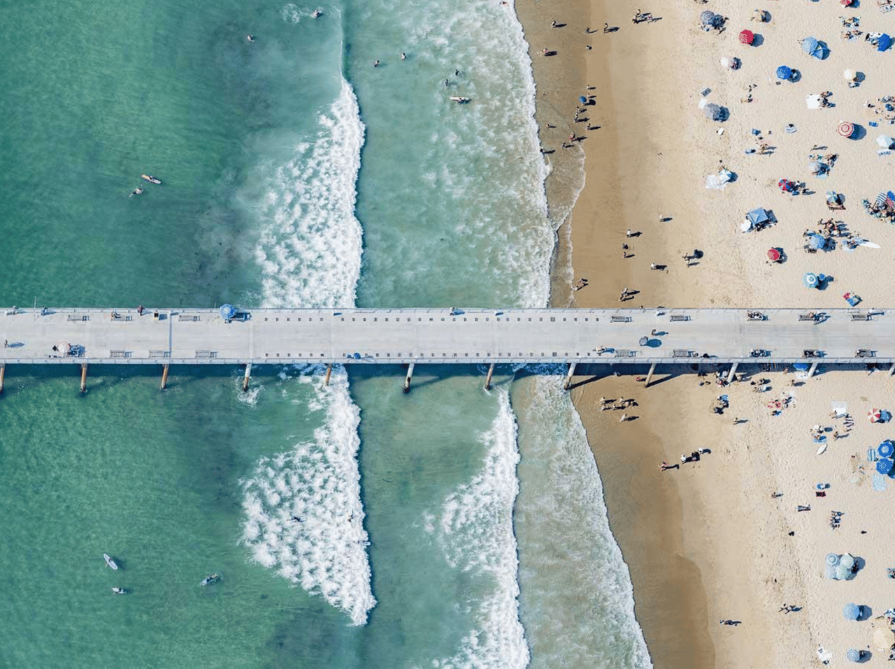
Within the Preserve, each reserve offers a different feel. Portuguese Bend Reserve spans about 399 acres with rugged, habitat‑rich canyons and sweeping ocean vistas. Ocean Trails Reserve covers about 119 acres with about eight miles of trails and long coastal stretches. Abalone Cove’s shoreline reserves feature tidepools and beach access. Most PVPLC‑managed trails are open from one hour before sunrise to one hour after sunset, which gives you full golden‑hour coverage.
Looking for a nature‑forward hike with panoramic views? Portuguese Bend’s network delivers switchbacks, native coastal scrub, and memorable lookouts. Trails range from moderate to more strenuous depending on grade and distance. Wear grippy shoes, carry water, and allow extra time for climbs. Popular access points include Del Cerro Park at the top of Crenshaw Boulevard and Martingale Trailhead.
If you want long ocean views and coastal breezes, Ocean Trails Reserve lines the shoreline with bluff‑top paths and connecting segments that feel far from the city. Trails are generally moderate, with some steeper connectors. Expect exposure to sun and wind, so pack layers and sunscreen. Look for coastal pullouts and posted trailheads along Palos Verdes Drive South.
For a family‑friendly outing, the Abalone Cove area combines bluff‑top overlooks, picnic tables, restrooms, and access to tidepools when the tide is low. Parking is available on site, often with a posted fee. Footing on the shoreline can be slick and uneven, so closed‑toe shoes are smart. Check posted signs for day‑of tide and safety guidance.
You will find well‑marked access at places like Del Cerro Park, Ladera Linda/Forrestal, Pelican Cove, Posey Way, and Rock Park Drive. Trail character shifts quickly here, so match your route to your time and experience. Some lots use pay‑by‑app systems, and rules can change seasonally. For current maps, parking guidance, and alerts, consult the City’s Trail maps & trail alerts page before you go.
Point Vicente is the community’s signature bluff‑top museum and viewing lawn, with exhibits, docent programs, and one of the best land‑based whale‑watching vantage points in Southern California. Families stop here for sunset picnics, museum visits, and seasonal events like Whale of a Day. See hours, exhibits, and event details at the City’s Point Vicente Interpretive Center page.
Public coastal access in Rancho Palos Verdes includes a mix of City parks, Preserve trails, and easements that connect bluff paths near Terranea Resort to Pelican Cove and other coastal segments. Some facilities are privately maintained but support public access per City agreements. For the factual backstory on who maintains what, review the City’s coastal access agreement details.
Pacific gray whales migrate along the Palos Verdes Peninsula each year, commonly noted from December through mid‑May. On calm winter mornings you might spot spouts, flukes, or even dolphins from the Point Vicente bluffs. The museum lawn and paths give clear sightlines, and docents often track daily counts.
Abalone Cove’s tidepools are protected nearshore habitat. Offshore, Point Vicente is a no‑take State Marine Conservation Area, and Abalone Cove is a State Marine Conservation Area with restricted take. California Department of Fish and Wildlife publishes the official regulations and maps. Before you collect, fish, or handle marine life, review the MPA rules & maps. Observing carefully, stepping on bare rock, and leaving organisms undisturbed protects both the habitat and your visit.
For broader environmental context, the offshore Palos Verdes Shelf is part of a monitored Superfund area with a history of contamination and long‑term remediation. If you want to understand that legacy and ongoing monitoring, the EPA maintains background on the Palos Verdes Shelf Superfund information.
Conservation is a local value here. The Palos Verdes Peninsula Land Conservancy leads volunteer‑powered restoration that supports species like the Palos Verdes blue butterfly, El Segundo blue, California gnatcatcher, and cactus wren. You can join weekend habitat days, docent‑led nature walks, or plant sales through the Conservancy’s page for Habitat restoration & volunteer opportunities.
Docents from Los Serenos de Point Vicente support hikes, bluff talks, and tidepool education tied to the Interpretive Center and local parks. If you are looking for guided learning or to get involved, explore Docent‑led programs & tidepool education.
Storms, restoration work, or fire weather can temporarily close trails, beaches, or segments of the Preserve. Before you head out, scan the City’s Trail maps & trail alerts page for the latest status.
Parts of the southern bluffs sit within the active Portuguese Bend landslide complex. The City manages remediation planning and posts notices when land movement impacts roads, utilities, or access. If you plan to live or spend time near these areas, bookmark the City’s page for Portuguese Bend land‑movement updates for current information.
Rancho Palos Verdes includes designated Fire Hazard Severity Zones, and seasonal brush‑clearance and defensible‑space rules apply. Homeowners can review fuel modification zones, home‑hardening tips, and current maps on the City’s page for Wildfire preparedness & fuel modification. Staying prepared helps protect homes and keeps trails open more consistently.
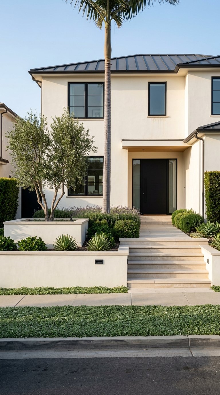
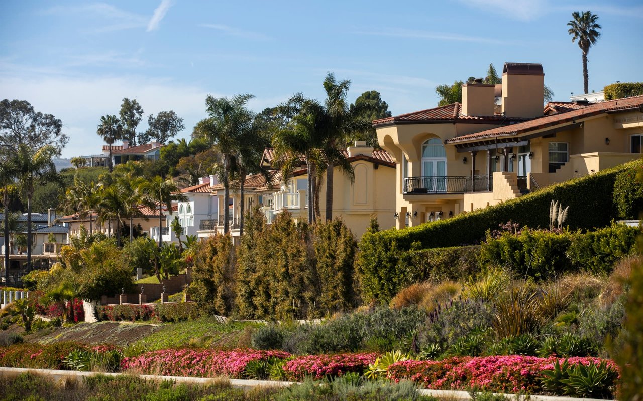
How you connect with RPV’s outdoors can depend on where you live. Here are neutral, location‑based snapshots to help you picture daily life:
If you are comparing homes, think about how you will use the outdoors day to day: a quick morning loop from your doorstep, weekend tidepool time with guests, or regular docent programs for kids. Match the neighborhood to the routines you care about most.
Quick checklist before you go:
Information accurate as of March 22, 2026; check City trail alerts and PVPLC resources before visiting.
If the Rancho Palos Verdes outdoor lifestyle speaks to you, the right home can put trails, tidepools, and bluff‑top sunsets within easy reach. Our team pairs deep local knowledge with design‑forward presentation to help you buy or sell with confidence. Reach out to Accardo Real Estate Associates to Request a complimentary market consultation and map your next move.
Stay up to date on the latest real estate trends.
If you're thinking about selling your home, you've probably asked yourself one question before anything else:
What Homeowners Need to Know Across Manhattan Beach, Hermosa Beach, Redondo Beach, Torrance, Palos Verdes & San Pedro
If you've ever wondered why one home in Palos Verdes Estates receives multiple offers in its first weekend while another similar property in the same neighborhood sits… Read more
Fireworks, Parades, Concerts & Family-Friendly Events Across the South Bay
Tony and his team set out to be not just the best possible realtors but also trusted resources. Their experience goes well beyond their years as South Bay's top-producing Realtors®.
Thinking of buying or selling in the South Bay? Our team specializes in strategic home preparation, elevated marketing, and expert negotiation designed to maximize your home’s value. Call or Text 310.855.3557 to start the conversation.
Palos Verdes Office:
550 Silver Spur Road, Suite 110
Rancho Palos Verdes, CA 90274
Hermosa Beach Office