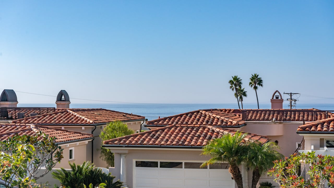
Is Palos Verdes Really Falling Into the Ocean?
South Bay February 25, 2026
South Bay February 25, 2026
If you mention Palos Verdes or Rancho Palos Verdes anywhere in Southern California right now, the response is almost immediate:
"Isn’t it sliding into the ocean?"
"Are homes falling off the cliffs?"
"Is it even safe to live there?"
The short answer: No, Palos Verdes is not collapsing into the ocean.
The real answer, however, is more nuanced and far more important to understand.
This guide breaks down what’s actually happening, where land movement exists, why it occurs, how cities and scientists are responding, and what it truly means for homeowners, buyers, and property values across the Palos Verdes Peninsula.
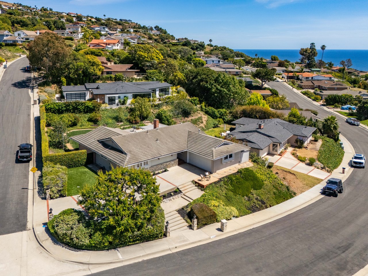
One of the biggest misconceptions is that the entire Palos Verdes Peninsula is unstable.
It isn’t.
Land movement is highly localized and primarily concentrated within specific neighborhoods inside Rancho Palos Verdes, most notably:
• Portuguese Bend
• Seaview
• Portuguese Bend Beach Club area
• Portions near Abalone Cove
These areas sit atop what geologists call the Portuguese Bend Landslide Complex, an ancient landslide zone that has existed for centuries.
Meanwhile, the vast majority of Palos Verdes Estates, Rolling Hills, Rolling Hills Estates, and large portions of Rancho Palos Verdes remain geologically stable residential communities.
The Palos Verdes Peninsula was formed by layered coastal sediment and clay-rich soils resting above weaker rock formations that naturally slope toward the ocean.
This combination creates conditions where movement can occur under certain circumstances.
The peninsula has been slowly moving for decades. Parts of the Portuguese Bend area have experienced measurable movement since at least 1956, when road construction unintentionally destabilized the slope and destroyed more than 100 homes.
This is not new geology. It is an old landslide system reactivating periodically.
What changed recently was water.
NASA monitoring confirmed that record-breaking Southern California rainfall in 2023 and 2024 accelerated ground movement, allowing water to seep deep into clay layers and act as lubrication beneath the surface.
When groundwater pressure increases, the land can begin sliding more rapidly.
In some affected zones, movement increased from inches per year to several inches per week during peak activity.
Water trapped underground is now understood to be the largest driver of acceleration.
In response, Rancho Palos Verdes installed deep dewatering wells that have already removed hundreds of millions of gallons of groundwater to slow movement.
And importantly:
Monitoring now shows measurable slowing in several slide areas following mitigation efforts.
This is where headlines and reality diverge.
Dramatic aerial images circulating online often show bluff erosion or isolated collapses. While visually alarming, officials repeatedly confirm that many of these events are separate from the primary landslide system.
Some homes within the active landslide zone have been damaged or evacuated, and infrastructure such as roads and utilities has been impacted. Read the Sept. 27 article from LAIST here.
However:
• There is no peninsula-wide collapse
• Most communities remain unaffected
• Events are geographically limited
• Movement is monitored continuously by engineers and satellite radar
The situation is serious locally, but not regionally catastrophic.
In September 2024, California declared a State of Emergency in Rancho Palos Verdes due to accelerated land movement affecting utilities and infrastructure.
This allowed funding and rapid response measures including:
• Utility shutdowns to prevent fires
• Evacuation assistance
• Geological monitoring expansion
• Federal and state mitigation funding
Emergency declarations often sound alarming, but they primarily enable resources and funding, not signal imminent regional collapse.
Rancho Palos Verdes is actively implementing one of California’s most aggressive landslide mitigation programs.
Read the RPV city report here.
• Groundwater extraction wells
• Surface drainage systems
• Infrastructure reinforcement
• Long-term slope stabilization
• Development restrictions in high-risk zones
In 2025, the city also approved permanent construction restrictions within the most unstable areas to prioritize long-term safety. Read the article from RPV here.
Real estate risk today is micro-location specific, not city-wide.
Two homes a few miles apart may have completely different geological profiles.
This is why working with hyper-local professionals matters.
California already maintains some of the strictest disclosure laws in the country.
Buyers in hillside or coastal communities typically review:
• Natural Hazard Disclosure reports
• Geological hazard zones
• Soil and stability history
• Insurance considerations
Transparency exists by design.
In affected slide zones, property values have shifted significantly due to uncertainty.
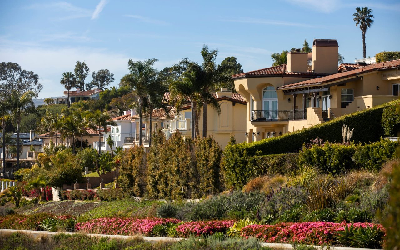
Outside those zones, however, Palos Verdes real estate continues to perform as one of Southern California’s most desirable coastal markets.
Demand for ocean views, schools, open space, and lifestyle remains extremely strong.
Instead of asking:
"Is Palos Verdes falling into the ocean?"
The better question is:
"Where exactly is land movement occurring, and how does it impact a specific property?"
Because the answer changes block by block.
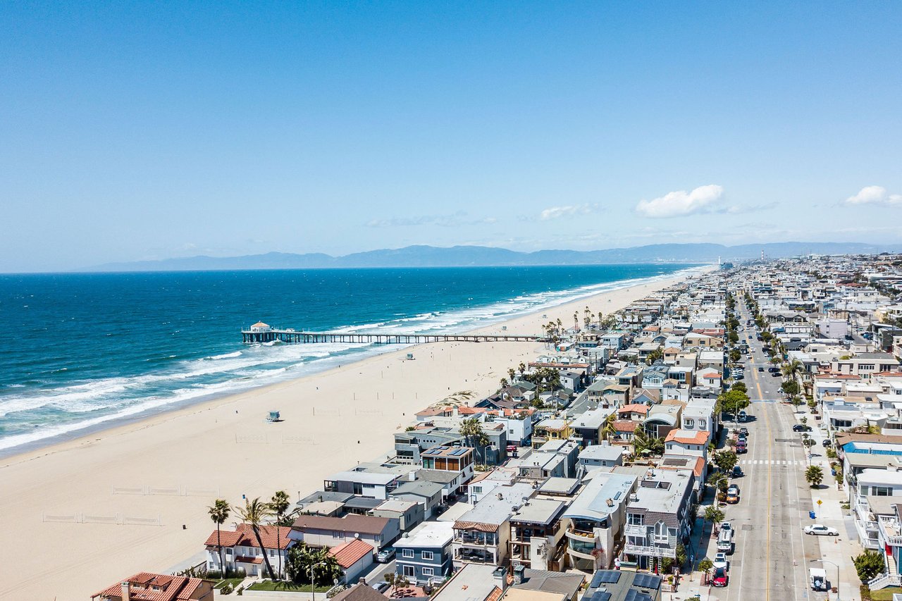
From Malibu to La Jolla to Big Sur, California’s most beautiful coastal communities exist because of dramatic geology.
Palos Verdes is no exception.
What makes this moment different is not that land movement exists, but that:
• Monitoring technology is more advanced
• Public transparency is higher
• Mitigation efforts are active
• Buyers are better informed than ever
NASA satellite radar now tracks ground motion down to millimeters, giving scientists unprecedented insight into how slopes behave over time. Check it out here.
Palos Verdes is not crumbling into the ocean.
What is happening is a localized geological event within historically known landslide zones, intensified by extraordinary rainfall and now being actively managed through engineering, policy, and long-term stabilization efforts.
Understanding the difference between headlines and reality is critical.
And in real estate, informed decisions always outperform fearful ones.
Every property tells a different geological and market story.
If you’re considering buying, selling, or simply want clarity on how land movement impacts value, risk, or strategy, working with a team deeply familiar with the peninsula makes all the difference.
Connect with our team for local insight, data-driven guidance, and property-specific evaluation.
Stay up to date on the latest real estate trends.
A Recognition Built on Trust, Strategy, and Service
See how Accardo Real Estate Associates transformed and strategically positioned 4922 Paseo Del Pavon through design guidance, Compass Concierge, targeted marketing, an… Read more
Most Agents Would Have Listed It. We Had a Different Plan.
Real Estate
How Strategic Preparation, Compass Concierge, and Intentional Marketing Led to Multiple Offers and a Sale $76,000 Over Asking in Just 4 Days

Tony and his team set out to be not just the best possible realtors but also trusted resources. Their experience goes well beyond their years as South Bay's top-producing Realtors®.
Thinking of buying or selling in the South Bay? Our team specializes in strategic home preparation, elevated marketing, and expert negotiation designed to maximize your home’s value. Call or Text 310.855.3557 to start the conversation.
Palos Verdes Office:
550 Silver Spur Road, Suite 110
Rancho Palos Verdes, CA 90274
Hermosa Beach Office